
3 California Trails for Senior Dogs

Sunset at Fiscalini Ranch Preserve
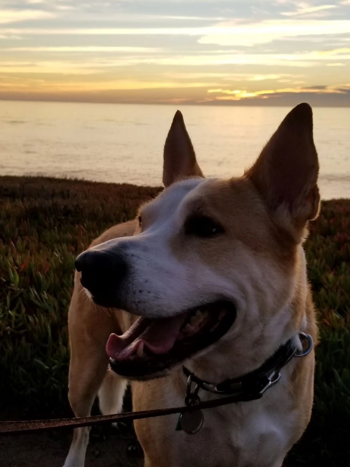
We’ve had Archer for nearly 13 years now, and while he’s much slower than he used to be, he still loves hitting the trails with us. He’s been all over California, but three of our favorite places to take him when he was a bit younger still work well for his senior years.
Hiking with Senior Dogs
I have many fond memories from our time on tougher trails with our dog. In his youth, he could effortlessly climb a series of elevated switchbacks for hours and still have energy to spare. Meanwhile, we often lagged behind, sneaking in a water break (or a gasp of air) and pretending we were just enjoying the scenery while he tugged on his leash to keep going. He’d trot along, glancing back at his slower human companions with a mix of eagerness and impatience. Anyone who has a cattle dog or working breed knows exactly what I mean!

Vicente Bluffs Reserve
Hanging out in the grassy section near the trail.
He still loves to be outside with us, but his age and hip issues have meant we need to make regular adjustments to prevent him from overdoing it on a hike. From bringing extra water and a harness in case he needs assistance, to picking different routes that aren’t overly challenging for him, we’ve found ways to allow him to join us for as long as he seems up to it.
What I love about these three trails is that because they have a flat elevation, you can easily change the duration to accommodate your pup. And while they each work for older dogs, they can still be enjoyed by younger dogs and their humans, too. Best of all, they are all free to visit.
Vicente Bluffs Reserve: Seascape Trail
Rancho Palos Verdes sits on the coast and offers up scenic views in all directions. There are many trails of varying difficulty levels to explore in the area, and most are dog friendly. At the time of this writing, however, several of those trails are currently closed due to hazardous conditions. For the most recent updates, please check the hiking trail conditions before planning your visit.
The Seascape Trail at Vicente Bluffs Reserve is the flattest of the flat when it comes to trails. There is no shade on the actual path, so keep that in mind if the weather is hot, but there are plenty of trees with picnic tables near the Point Vicente Interpretive Center.
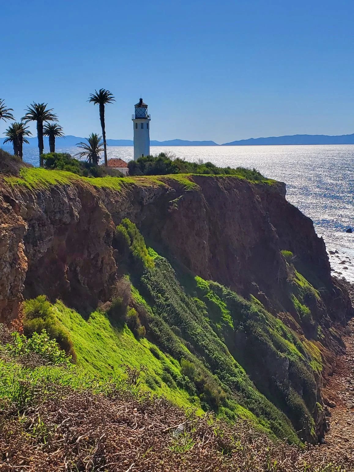


There are a few ways to access the Seascape Trail, but our preferred option is to park at one of the lots near the Interpretive Center. This way, you get a spectacular view of the nearby lighthouse, as well as a place to fill your water if necessary, and still have access to the nicer public restrooms. Plus, you can let your dog enjoy the grassy area while you have a picnic and look out at the ocean. It’s not uncommon to see whales during the migration season.
The trail is a dirt path that winds along the ocean with unobstructed views the entire way. There are dog bags and benches along the route. There are options to take other Vicente Bluffs trails that branch out from the Seascape Trail, but we prefer to stay on the Seascape for the views and shorter duration, and simply hike to the end and back. Depending on what time of year you visit, the landscape looks completely different: sometimes it’s full of flowers, other times it’s so green it could pass for Ireland, and other times everything is dead and brown, but still beautiful as it contrasts with the turquoise and deep blue water.
Santa Ysabel East Preserve: Farmer Road Entrance
Julian is an old mining town in the mountains of San Diego County that might be most famous for apple pie. In fact, there are multiple places in town to try to get your pie fix, and you’ll probably encounter a line at almost all of them.
While the town is worth a visit, our favorite thing to do is head out for a hike among the rolling hills and shady oak trees. Drive down Farmer Road, and you’ll pass a line of cars parked near the entrance to the Volcan Mountain Trailhead. This trail allows leashed dogs, but Volcan Mountain is a strenuous hike with steep inclines and a high altitude. It could be great for active dogs, but not so much for older ones. Keep driving about a mile, and you’ll hit the entrance to the Santa Ysabel East Preserve.
Look for a sign at the entrance for Santa Ysabel Open Space Preserve. The parking area is a large dirt lot with porta potties and a few picnic tables. There is a fence that runs along the back of the lot, and you’ll see the trail map and entrance to the left of that.
The first thing you’ll notice as you enter the trail gate is the warning about cows in the area —they aren’t kidding. We have encountered cows near and on the trail every time we’ve been here, so if your dog is reactive, please keep that in mind. A sign warning about cows seems almost comical when there is a smaller sign nearby mentioning mountain lions, but when you are that close to a few cattle members, you get a new perspective on how big and powerful they can be. That said, we’ve never had an issue even when there have been several along the path. We just move slowly and try to give them plenty of space.


The main trail here is a mostly flat hike in and back out, with the option to make it more challenging if you take the little wooden bridge across the creek up to Kanaka Loop. Since we are here with a senior dog with mobility issues, we choose to stop at the split before crossing the creek because the trail then becomes a series of inclines. While I’ve also taken this part of the trail up to the top, I wouldn’t recommend trying it with an older pup if they have any health considerations.
If you do take the elevated trail up, you’ll see a gigantic mountain lion sign near the top as you summit. Again, it’s almost laughable to see it so long after the larger cow warning near the entrance, but there is a healthy mountain lion population in the area, including on Volcan Mountain. From the top, you’re also likely to see many more cows in the fields in and around the Kanaka Loop Trail. I may or may not have momentarily mistaken a lone cow grazing in the field for a mountain lion passing through.
Sections of the lower, main trail are exposed to the sun even in the flatter spots but there are intermittent shady points for stopping. The trail alternates between grass and dirt, but is very easy to follow as it’s a straight path. The one split, if you can even call it that given one path is clearly more well-traveled, is marked with a little arrow to point you in the right direction. This is where the trail curves to the left leading to the creek bridge and the incline. There are also a few picnic tables here by the creek if you want to plan a longer break before taking the trail back. The hike to the creek bridge is about 1.5 miles, so we usually turn around here (or sooner) to keep the entire hike under 3 miles for Archer’s comfort.
Fiscalini Ranch Preserve: Bluff Trail
If you asked me which California town I would want to live in year-round, it would probably be Cambria. It’s a slow-paced seaside village where the pine trees and ocean meet. It reminds me of one of the coastal towns I grew up near back east, which is likely why I feel so at home here. It’s the perfect blend of familiar and new, and I love the natural beauty that surrounds it.
Fiscalini Ranch Preserve covers over 430 acres of natural land with miles of walking trails that weave through various types of terrain. While most of the trails are considered easy to moderate, the Bluff Trail is our favorite for its flat and scenic pathway.
There are multiple entrances to the preserve, but for easy access to the Bluff Trail, you want to park at one of the Windsor Boulevard trailheads. They both have very small parking areas, but you can also find street parking in the neighborhood. We tend to park on the southern side of the park, near the Wedgewood Accessway.


If you do park on the southern side, there are two things to be aware of as you near the preserve. One, not all of the intersections in this neighborhood have any stop signs. I’m assuming it’s because it’s a sleepier side of town, as opposed to the Moonstone Beach side, but I’ve always found it rather odd and potentially dangerous. Two, I have never seen as many deer in my life as I have in Cambria. And while that’s true of the general area, it is especially true in this neighborhood. And I’m not talking a deer here and there, I mean entire herds at times. On top of that, the deer seem pretty unconcerned about cars, so it’s on you to avoid hitting them.
Getting back to the Bluff Trail, from either side, you can take this path end-to-end. It’s a little less than a mile in each direction and there are benches at various points along the way. The only drawback is there isn’t any shade on this trail if you’re here during the full sun. You can make it an easy loop with the Marine Terrace Trail or just return the way you came if you like being near the ocean. The path hugs the cliffs and has jaw-dropping views regardless of time of day, although the sunsets are truly magical. From the trail, I’ve seen otters, dolphins, and different kinds of seals playing in the surf.
As a bonus, there are various other trails within the preserve if you want to make it a more challenging hike for yourself or a younger dog.